14 best ocean navigation maps
Ocean navigation maps, often referred to as nautical charts, have played a crucial role in the history of maritime exploration, particularly in the Americas. These maps are specialized charts designed for use by sailors, navigators, and mariners to safely navigate oceans, seas, and coastlines. Here is some information about ocean navigation maps in the context of the Americas and their historical significance:
Early Exploration: The history of ocean navigation maps in the Americas is closely tied to the age of exploration. During the Age of Discovery in the late 15th and 16th centuries, European explorers like Christopher Columbus, John Cabot, and Hernán Cortés relied on rudimentary charts and maps to navigate the Atlantic Ocean and explore the New World.These early maps were often based on limited knowledge of coastlines and navigational techniques of the time.
Portolan Charts: In the late Middle Ages, mariners in Europe began creating portolan charts, which were some of the earliest known nautical charts. These charts primarily focused on coastal areas and provided information on harbors, landmarks, and navigational hazards. Portolan charts were crucial for Mediterranean and Atlantic navigation.
Exploration of the Americas: As European explorers ventured westward to the Americas, the need for more detailed and accurate ocean navigation maps became apparent. Maps like the Cantino Planisphere (1502) and the Waldseemüller map (1507) played significant roles in depicting newly discovered lands in the Americas and outlining their coastlines.
Mercator Projection: In the 16th century, Gerardus Mercator developed the Mercator projection, a cylindrical map projection that greatly improved the accuracy of charts for long-distance ocean navigation. The Mercator projection became the standard for nautical charts and allowed mariners to plot courses as straight lines, simplifying navigation.
Modern Nautical Charts: Over time, nautical charts evolved into highly detailed and accurate maps used by sailors and navigators. These charts include information about water depths, currents, tides, navigational aids (buoys, lighthouses), and potential hazards. Organizations like the United States' National Oceanic and Atmospheric Administration (NOAA) produce modern nautical charts for various regions.
GPS and Electronic Navigation: In recent decades, the advent of GPS (Global Positioning System) and electronic navigation systems has revolutionized ocean navigation. While traditional paper charts are still used for backup and reference, digital charts and GPS devices have become the primary tools for modern mariners.
Ocean navigation maps have been essential tools for explorers, traders, and sailors throughout history, shaping the course of exploration and trade in the Americas and beyond. They continue to play a vital role in ensuring safe and efficient navigation on the world's oceans and waterways.
Below you can find our editor's choice of the best ocean navigation maps on the market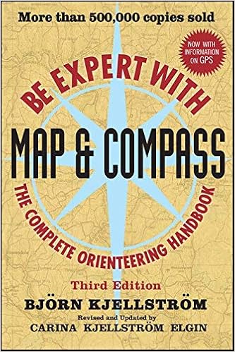
Be Expert with Map and Compass
Wiley

Introduction to Satellite Remote Sensing: Atmosphere, Ocean, Land and Cryosphere Applications
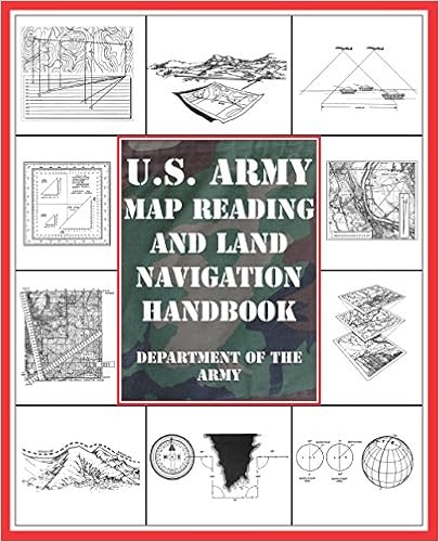
U.S. Army Map Reading and Land Navigation Handbook

Sea People: The Puzzle of Polynesia
Harper

Rand McNally Easy To Read: Alaska State Folded Map
Rand McNally

The Nautical Puzzle Book
Quercus

Conquerors: How Portugal Forged the First Global Empire
Random House

Sextant: A Young Man's Daring Sea Voyage and the Men Who Mapped the World's Oceans
William Morrow & Company
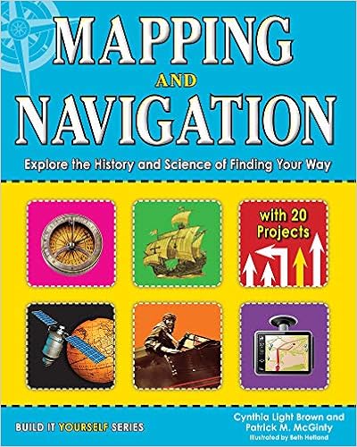
Mapping and Navigation: Explore the History and Science of Finding Your Way with 20 Projects (Build It Yourself)
Nomad Press (VT)
Product features
World history is your history!
Travel the world by learning about different eras and cultures.
Amazing Africa Projects: You Can Build Yourself
Explorers of the New World: Discover the Golden Age of Exploration with 22 Projects
Food: 25 Amazing Projects Investigate the History and Science of What We Eat
Great Medieval Projects: You Can Build Yourself
The Industrial Revolution: Investigate How Science and Technology Changed the World with 25 Projects
Mapping and Navigation: Explore the History and Science of Finding Your Way with 25 Projects
The Silk Road: Explore the World’s Most Famous Trade Route with 20 Projects
Timekeeping: Explore the History and Science of Telling Time with 15 Projects
Praise for The Industrial Revolution
School Library Journal “Students interested in science or technology might accidentally learn to like history after reading this book.”

Land Navigation Handbook: The Sierra Club Guide to Map, Compass and GPS (Sierra Club Outdoor Adventure Guide)

Emergency Navigation: Improvised and No-Instrument Methods for the Prudent Mariner, 2nd Edition
International Marine/Ragged Mountain Press

River-Horse: The Logbook of a Boat Across America
Penguin Books

The History of Seafaring: Navigating the World's Oceans
Conway Maritime Press

Pathway of the Birds: The Voyaging Achievements of Māori and Their Polynesian Ancestors
Latest Reviews
View all
Powder Nails
- Updated: 09.01.2023
- Read reviews

Hair Shine Sprays
- Updated: 06.07.2023
- Read reviews
Badger Body Oils
- Updated: 23.03.2023
- Read reviews
Fuel Tank Water Remover
- Updated: 09.03.2023
- Read reviews

North States In Babies
- Updated: 20.04.2023
- Read reviews